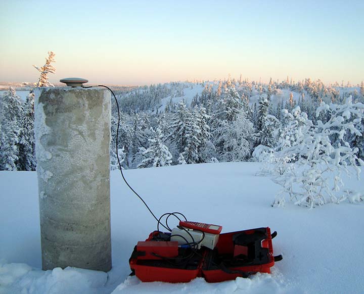
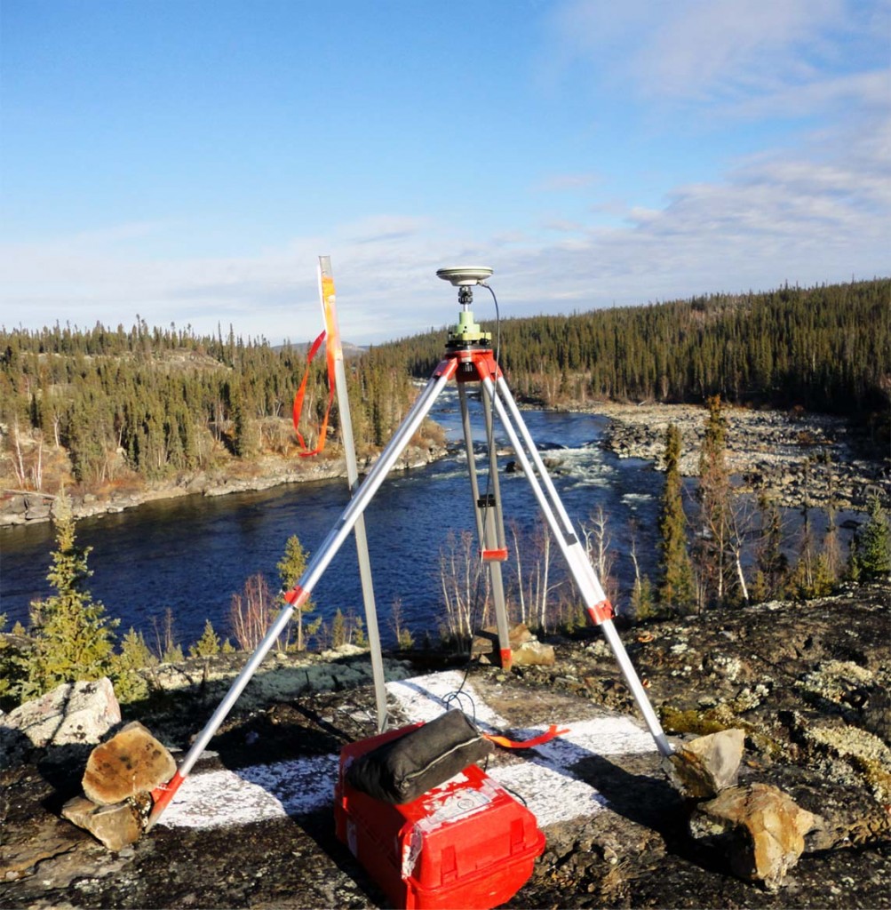
HIGH PRECISION DEFORMATION SURVEYS ARE USED TO DETECT SLIGHT MOVEMENTS IN STRUCTURES AND SURFACES, TO ENSURE THAT HEALTH, SAFETY, AND ENVIRONMENTAL CONSIDERATIONS ARE MET.

Ollerhead & Associates Ltd. is involved in the ongoing Deformation Monitoring of water retention dikes and open pit high walls at the Diavik Diamond Mine.
Since 2003, we have used a combination of high precision GNSS, conventional surveying and digital levelling instrumentation.
Ollerhead & Associates Ltd. can provide Deformation Monitoring Surveys using an array of equipment:
- High Precision GNSS Receivers
- Automated Conventional Instruments
- High Precision Digital Levels
- Terrestrial Lidar Scanning
- Ground Penetrating Radar

We are experienced with high precision survey equipment, data collecting procedures and proprietary software allowing us to design, build and maintain a Deformation Monitoring system for a variety of projects, such as:
- Water Retention Dikes
- Hydro-Electric Dams
- Open Pit High Walls
- Construction Retaining Walls
- Air Strip and Construction Surfaces
- Fuel Tank Side Walls
- River Banks and High Erosion Areas